Four days on foot through the Icelandic highlands, and three nights in mountain huts: Hrafntinnusker, Álftavatn and Emstrur. Each night shapes the day after it.
Read it in the order you will walk it. Choose your nights as you read, and Dalur keeps track of them. You book the huts yourself, on fi.is.
Same height scale for all four days, so you can compare them.
In the order you meet them
Landmannalaugar
Steam vents
Obsidian fields
Snow patches
Hrafntinnusker
Night 1 of 3
The highest hut, after the climb
52 placesSingle and double bunksNo showers
The place
The hut, 52 places
Warden's hut, just west
Toilets behind the hut, no showers
Campsite below, with a latrine
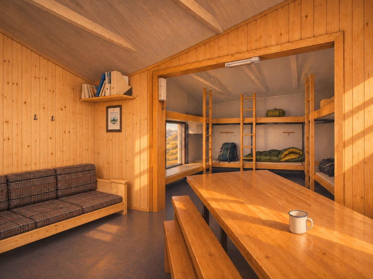
Where you sleep
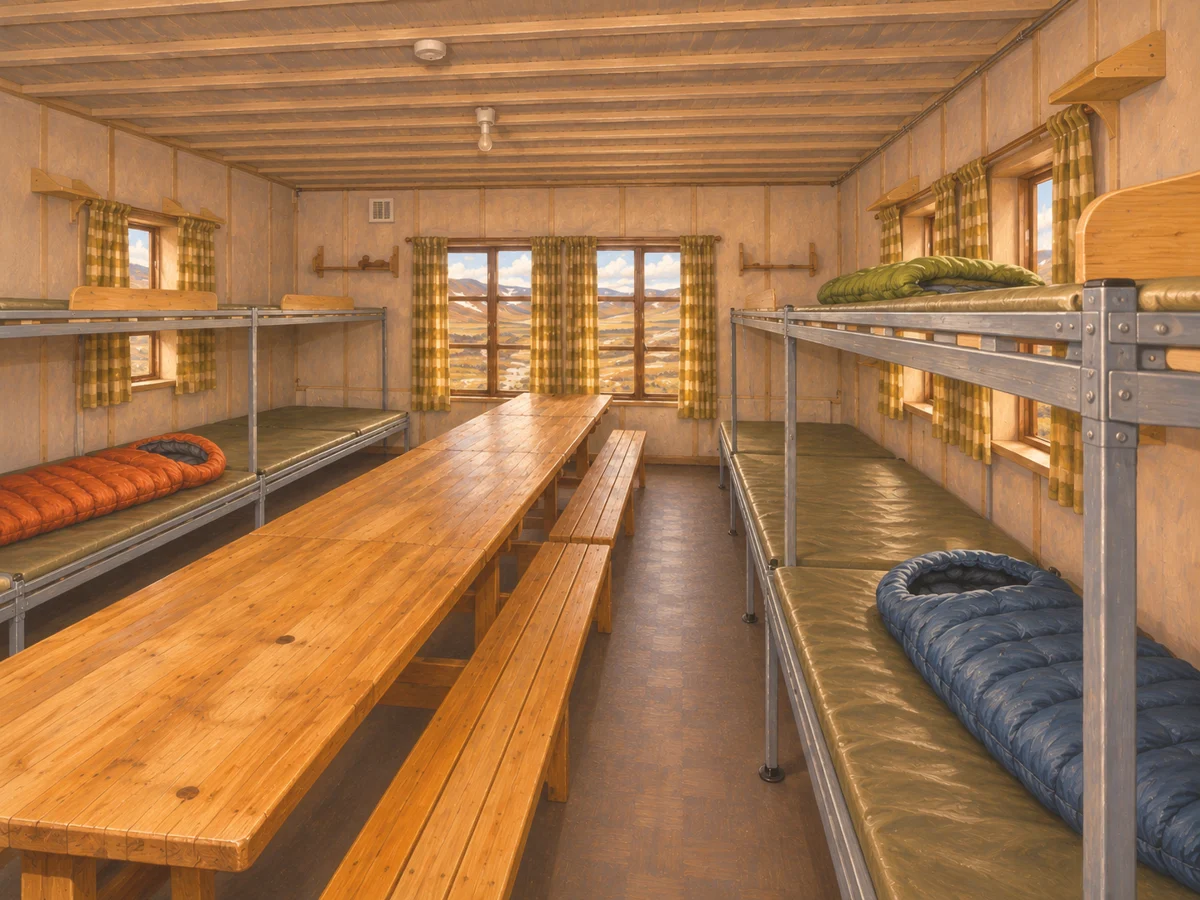
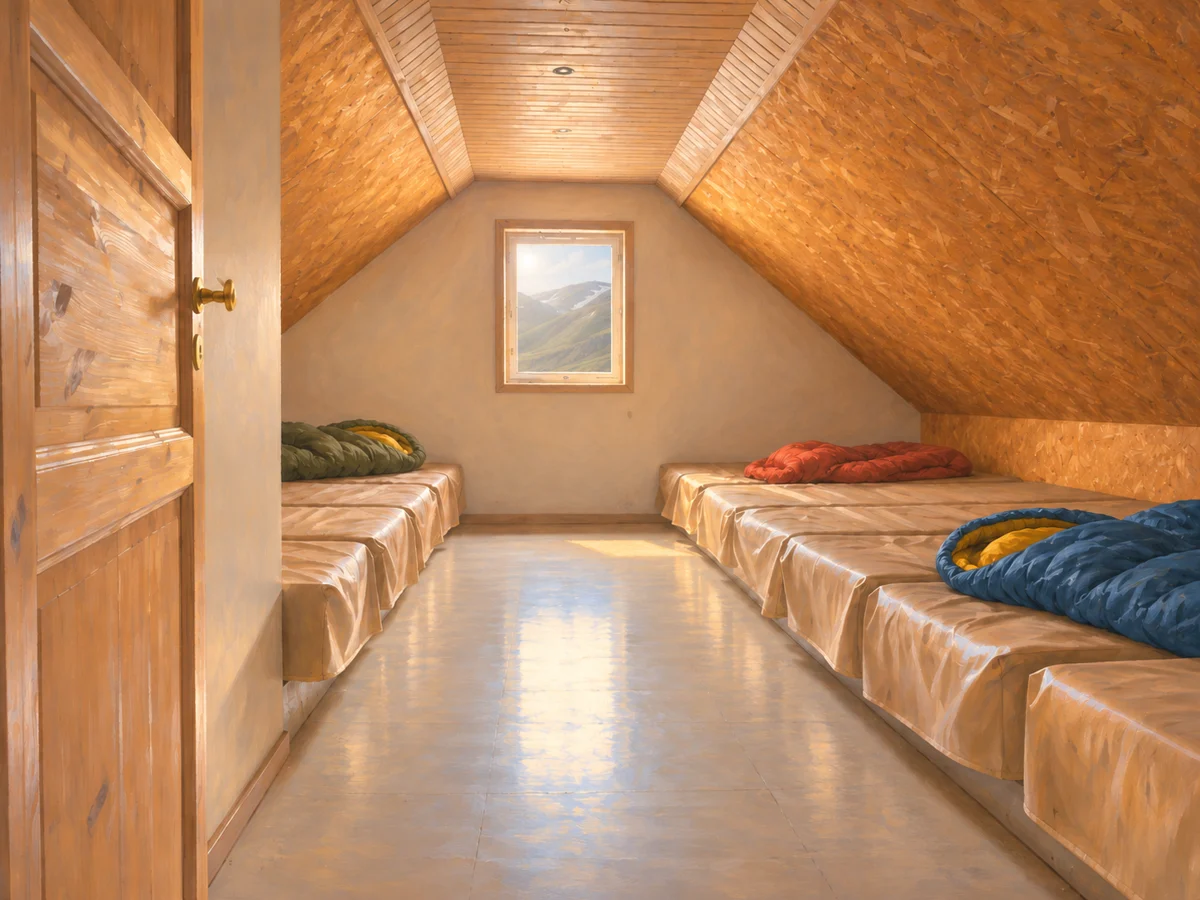
Single and double bunks with mattresses, and a loft with mattresses on the floor. On a double bunk you may lie next to someone you don't know.
You arrive
A warden gives you your place. You don’t choose it.
The evening
You cook your own food in a shared kitchen with gas stoves and pots, next to other hikers.
The morning after
You leave with your full bag, and the way down starts soon.
Your night here
Dalur doesn’t book. Book the hut or campsite on fi.is, then come back and mark it as booked. FÍ sells huts first as fixed 5-night sets, and single nights only later, if any are left. Huts fill months ahead.
Source: FÍ Laugavegur page
2
Day 2 of 4
Hrafntinnusker to Álftavatn
490 m downsteep and rocky at Jökultungur
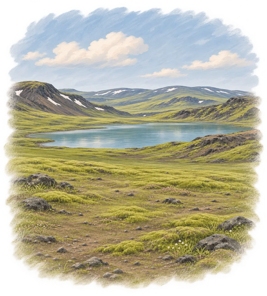
Down the steep, rocky slope at Jökultungur, then gentler ground to the lake. Near the end you wade Grashagakvísl. Early in summer you can sometimes cross it on snow.
Snow can lie on the top part of this day too.
4 to 5 hwalking, longer with stops
12 kmdistance
One day in your legsbefore you start
The hard partGoing down steeply, on legs that climbed yesterday.
Same height scale for all four days, so you can compare them.
In the order you meet them
Hrafntinnusker
Snow bridges
Jökultungur, steep and rocky
Grashagakvísl, wade
Álftavatn
Night 2 of 3
By the lake, halfway
Two huts, 72 placesShared roomsShowers for a fee
The place
Big hut, 40 places
Small hut, 32 places
Toilet house, showers for a fee
Warden's hut
Large campsite next to the huts
Lake Álftavatn
Where you sleep
Dorm rooms with bunks and mattresses, in the big and the small hut. Sleeping bags, your own.
You arrive
A warden gives you your place. You don’t choose it.
The evening
You cook your own food in a shared kitchen with gas stoves and pots, next to other hikers.
The morning after
The longest day starts here: 16 to 17 km, and two rivers to wade.
Your night here
Dalur doesn’t book. Book the hut or campsite on fi.is, then come back and mark it as booked. FÍ sells huts first as fixed 5-night sets, and single nights only later, if any are left. Huts fill months ahead.
Source: FÍ Laugavegur page
3
Day 3 of 4
Álftavatn to Emstrur
16 to 17 kmthe longest day, on open black sand
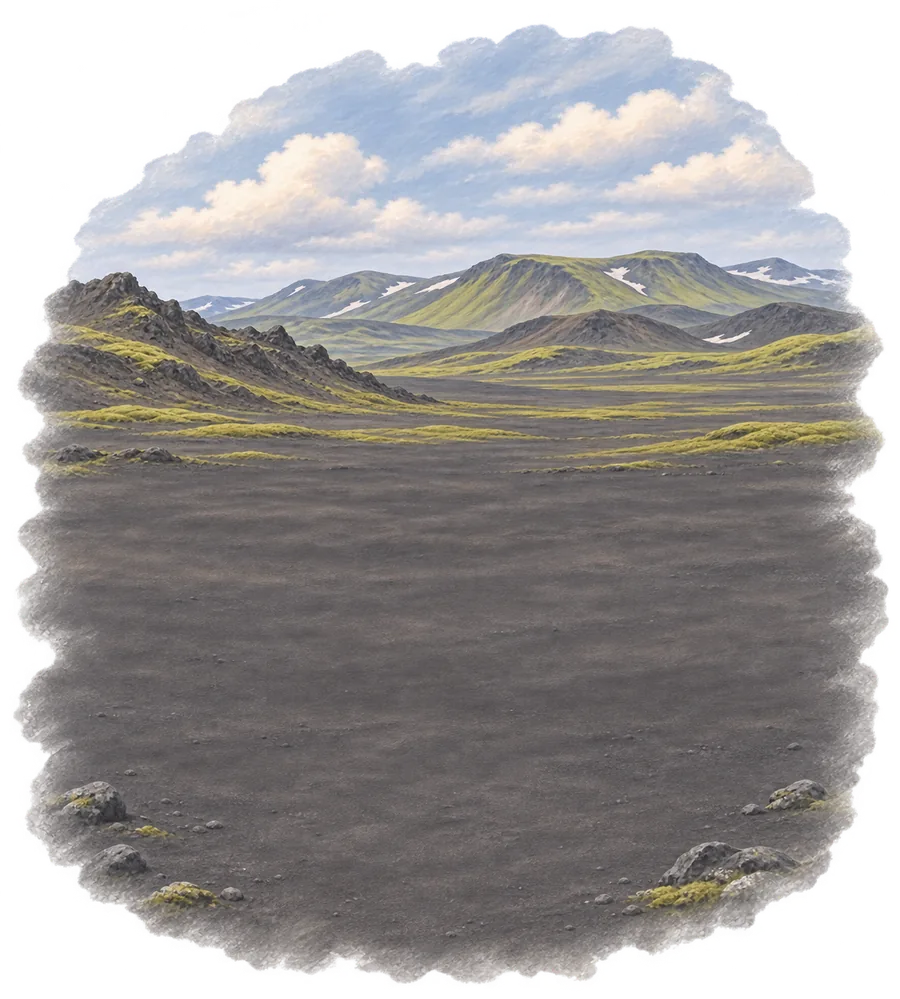
The longest day. Open black sand, often with wind.
You wade two rivers on foot: Bratthálskvísl and Bláfjallakvísl.
6 to 7 hwalking, longer with stops
16 to 17 kmdistance
Two days in your legsbefore you start
The hard partHours of black sand that look the same, often in wind.
Same height scale for all four days, so you can compare them.
In the order you meet them
Álftavatn
Bratthálskvísl, wade
Kaldaklofskvísl, footbridge
Bláfjallakvísl, wade
Mælifellssandur, black sand
Emstrur
Night 3 of 3
Three small huts on the sand
Three huts of 20BunksShowers for a feePhone signal on the hill above
The place
Three small huts, 20 places each
Toilet house, showers for a fee
Warden's house
Small campsite in the valley below
Phone signal on the hill above
Where you sleep
Small rooms with bunks, 20 people to a hut.
You arrive
A warden gives you your place. You don’t choose it.
The evening
You cook your own food in a shared kitchen with gas stoves and pots, next to other hikers.
The morning after
The last day: a footbridge, a climb at Kápa, and Þröngá, the deepest crossing.
Your night here
Dalur doesn’t book. Book the hut or campsite on fi.is, then come back and mark it as booked. FÍ sells huts first as fixed 5-night sets, and single nights only later, if any are left. Huts fill months ahead.
Source: FÍ Laugavegur page
4
Day 4 of 4
Emstrur to Þórsmörk
300 m downand Þröngá to wade near the end
A footbridge over Fremri-Emstruá, a last climb at Kápa, then Þröngá on foot, the deepest crossing, near the end.
6 to 7 hwalking, longer with stops
15 kmdistance
Three days in your legsbefore you start
The hard partCold water near the end, when you’re most tired.
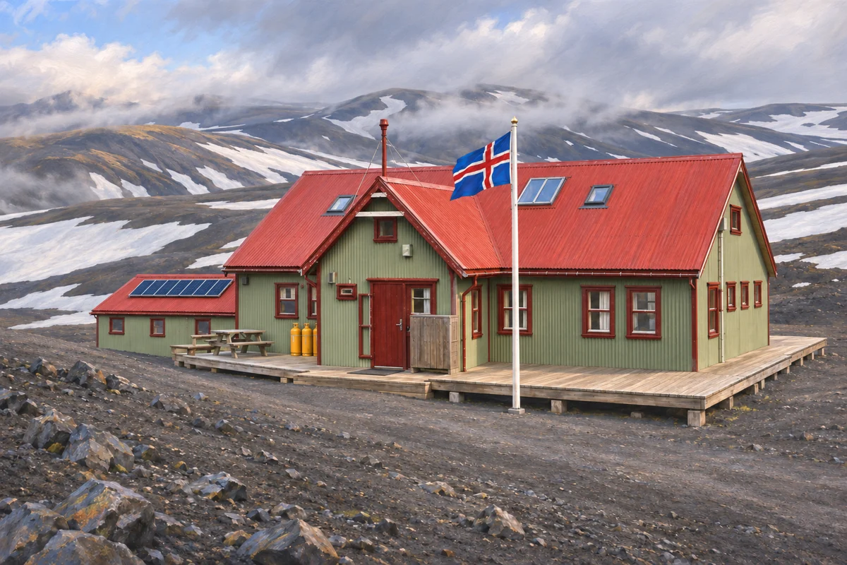 Night 1: HrafntinnuskerHut or tentNot decided
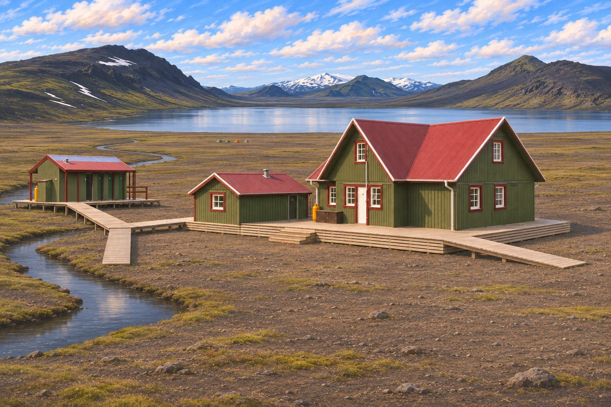 Night 2: ÁlftavatnHut or tentNot decided
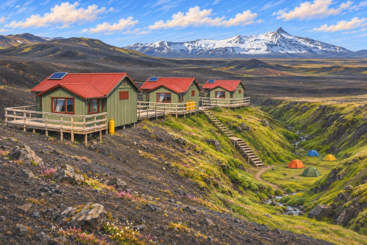 Night 3: EmstrurHut or tentNot decided